

DRONE PHOTOGRAPHY

Drone Photography
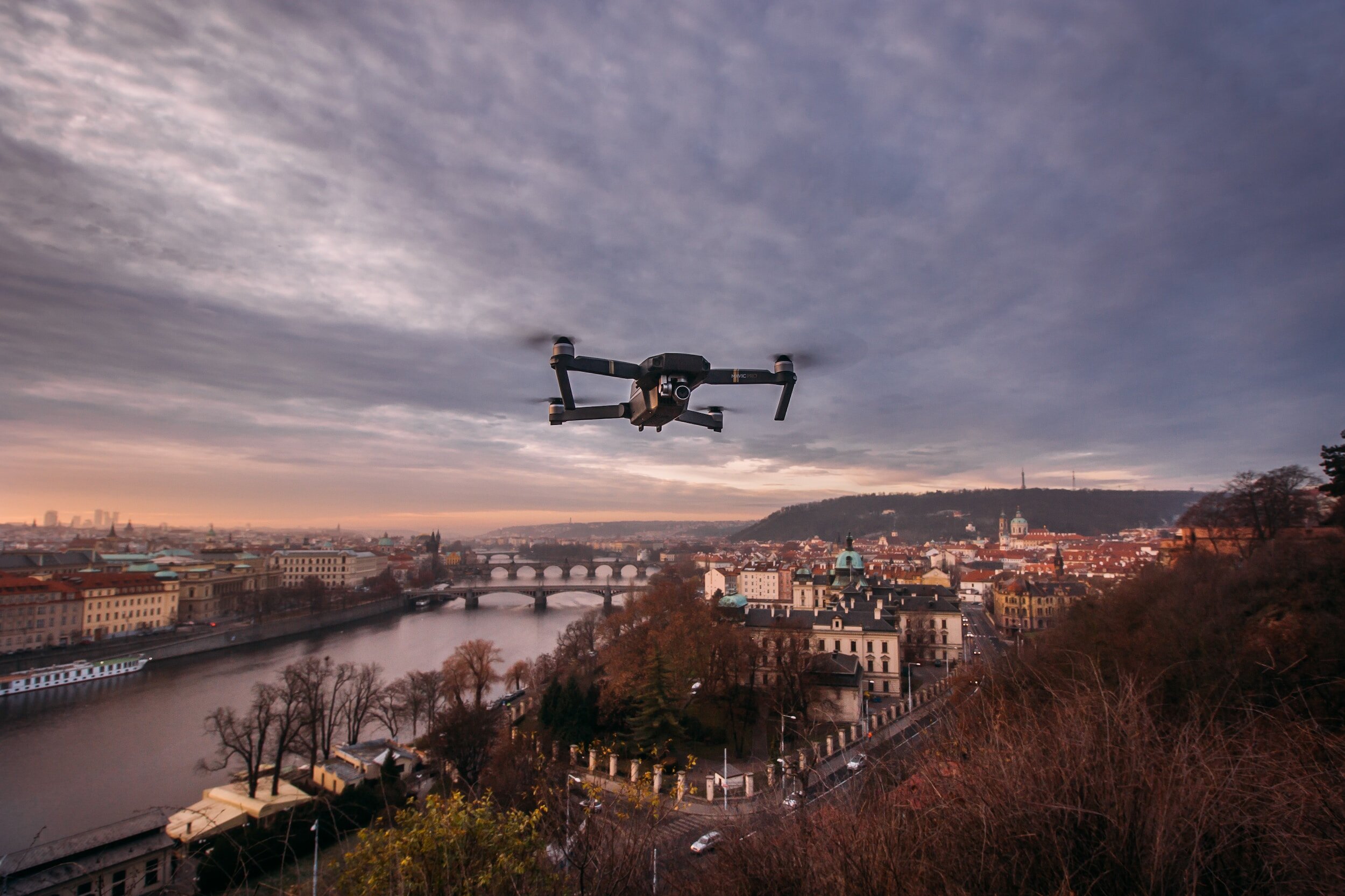
Drone video survey services involve using unmanned aerial vehicles (UAVs), commonly known as drones, to capture high-definition video footage of a specific area or site for surveying and inspection purposes. These services have gained significant popularity in various industries due to the advantages they offer over traditional surveying methods. Drone video surveys provide a cost-effective, efficient, and safe way to gather detailed data and visual information from vantage points that may be otherwise challenging or dangerous to access.
The key features and applications of drone video survey services include:
Aerial Video Capture: Drones equipped with high-quality cameras capture clear and detailed video footage from the air. This allows for a comprehensive view of large areas, landscapes, and structures in a single flight.
Site Inspection and Monitoring: Drone video surveys are utilized for site inspections, monitoring construction progress, and identifying potential issues or hazards on construction sites, infrastructure projects, or industrial facilities.
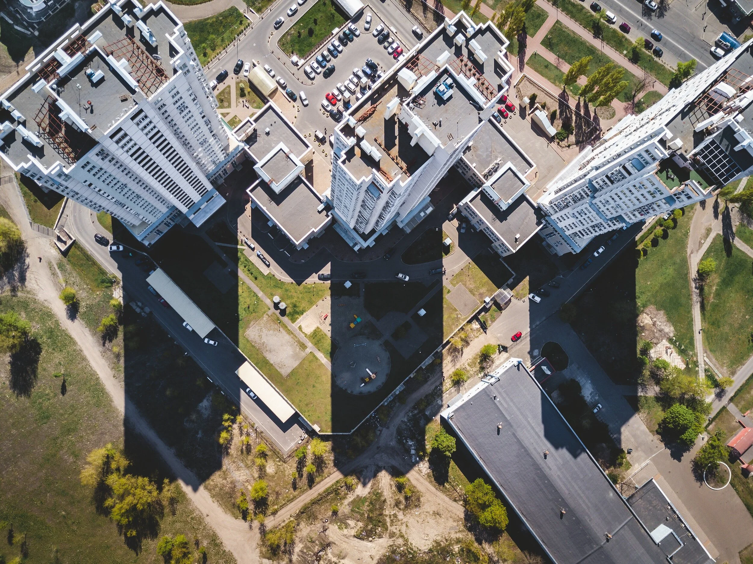
Mapping and Surveying: The video footage can be processed to create accurate aerial maps and 3D models, providing valuable data for land surveying, topographical mapping, and spatial analysis.
Real Estate Marketing: Drones are used in the real estate industry to create stunning aerial videos and panoramic views of properties, enhancing marketing materials and showcasing properties from unique angles.
Environmental Assessments: Drones are employed to monitor environmental changes, such as erosion, deforestation, or wildlife populations, allowing for better conservation efforts and land management.
Infrastructure Inspection: Drones can be deployed to inspect bridges, roads, pipelines, power lines, and other critical infrastructure, providing cost-effective and efficient visual assessments.
Disaster Assessment and Response: In the aftermath of natural disasters, drones are used to assess damage, locate survivors, and aid in the planning of relief efforts.
Progress Reporting and Documentation: Drone video surveys provide visual documentation of construction projects, enabling stakeholders to track progress, identify deviations, and make informed decisions.
Safety and Efficiency: By using drones, surveyors can reduce the need for physical access to dangerous or hard-to-reach areas, improving safety while also saving time and resources.
Data Analysis and Integration: The video data can be integrated with Geographic Information Systems (GIS) and other software for in-depth analysis and visualization.
When hiring drone video survey services, clients can expect experienced drone operators who are skilled in safely navigating UAVs, capturing high-quality footage, and processing the data effectively. They receive detailed reports, maps, and videos that provide valuable insights for various projects, ranging from construction and engineering to environmental assessments and real estate marketing. The use of drone technology in surveying offers a modern and innovative approach, enhancing the efficiency and accuracy of data collection and analysis.


Sigma Construction Management LLCTelephone: 516-315-0234Email: Gerry@SigmaCMllc.com
butler pre-engineered buildingstrade partnerscontact us for opportunitiesEmail: Gerry@SigmaCMllc.com